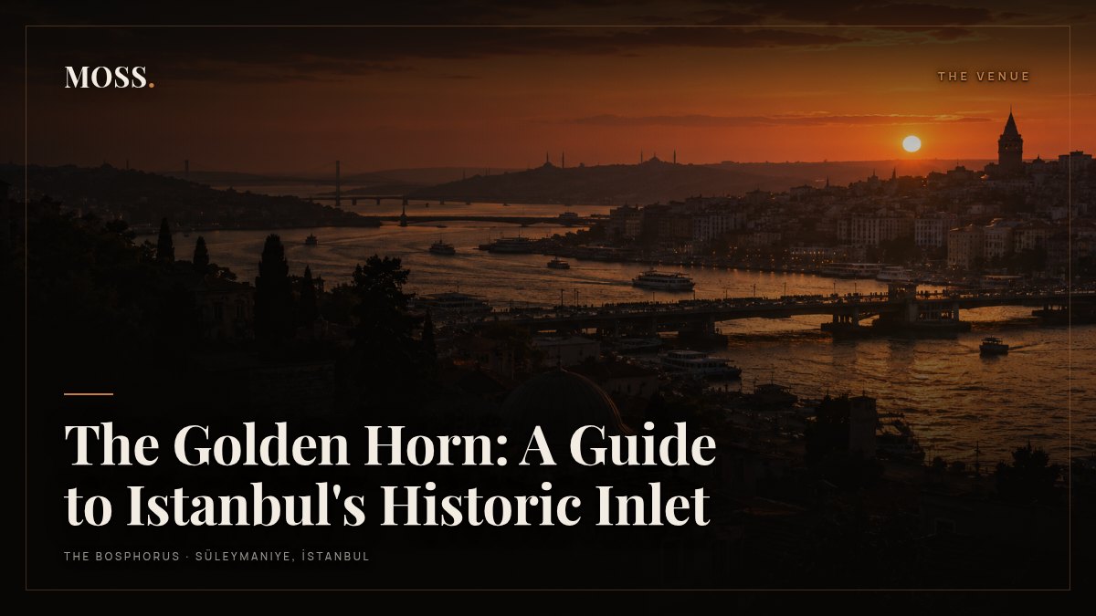
The Golden Horn: A Guide to Istanbul's Historic Inlet
The Golden Horn (in Turkish, Haliç) is the long, curved inlet that splits European Istanbul in two, running inland from the mouth of the Bosphorus for about seven kilometres. To its south lies the historic peninsula, the old city of Süleymaniye, Fatih and Sultanahmet; to its north rise Karaköy, Galata and Beyoğlu. For most of Istanbul’s history it was the city’s harbour, one of the finest natural anchorages in the Mediterranean world, and today it is the water you see first from the hills of the old city.
What is the Golden Horn?
Geographically it is a drowned river valley, fed at its head by two small streams, which explains its shape: narrow, sheltered and curving like a horn. Nobody is quite sure where the “golden” part comes from. The usual explanations are the colour of the water at sunset, the wealth that flowed through its docks, or both. Anyone who has watched the light turn amber over it in the evening tends to favour the first.
The shelter is what made it matter. Ships could ride out storms here that would batter them on the open Bosphorus, and the Byzantine city built its quays and warehouses along the southern shore. In times of siege a great iron chain was stretched across the mouth of the inlet to keep enemy fleets out.
A harbour that shaped the city
The Golden Horn’s most famous moment came in 1453. With the chain blocking the entrance, Sultan Mehmed II had part of his fleet hauled overland on greased logs from the Bosphorus, over the hill behind Galata and down into the inlet, outflanking the city’s sea walls. Within weeks Constantinople had fallen and become Ottoman Istanbul.
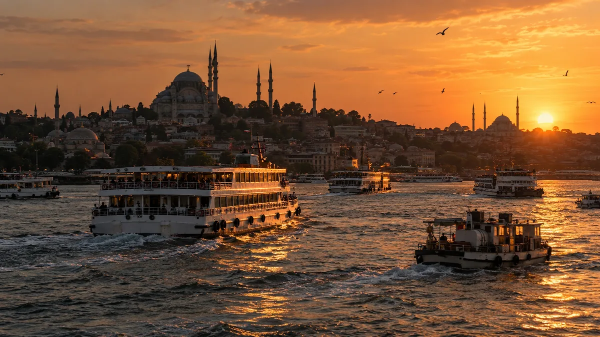
For the next five centuries the inlet was the working heart of the city. The imperial shipyards sat at Kasımpaşa, merchant quarters lined both shores, and Genoese and Venetian traders kept their colonies on the Galata side. Greek families built tall houses in Fener, Jewish and Armenian communities lived in Balat and Hasköy, and the mosques of the old city looked down on all of it. Industry took over later, and by the mid-twentieth century the water was badly polluted. A long clean-up from the 1980s onward moved the factories out, laid parks along the banks and brought the fish back, and the Golden Horn is greener and calmer today than it has been in generations.
Which bridges cross the Golden Horn?
Several bridges cross the inlet, and each one tells you where you are:
- Galata Bridge: the closest to the Bosphorus, linking Eminönü and Karaköy. Fishermen line its upper deck with their rods at almost any hour, and a row of fish restaurants sits on the lower level.
- Haliç Metro Bridge: opened in 2014, it carries the M2 metro line on cables between Unkapanı and Şişhane, with a station out over the water and open views up and down the inlet.
- Atatürk Bridge: just beyond it, the road bridge between Unkapanı and Azapkapı, with the Süleymaniye hill rising directly above its southern end.
- Haliç Bridge: further up, the motorway crossing near Ayvansaray and Eyüp.
Walking across the Galata Bridge at dusk, with the gulls overhead, the rods bending and the ferries sliding underneath, is one of the classic Istanbul experiences.
Neighbourhoods on its shores
The southern shore, running inland from Eminönü, is the old city’s waterfront. Eminönü has the ferry piers, the New Mosque and the Spice Bazaar. Further along come Fener and Balat, with steep lanes, coloured houses and old churches, then Ayvansaray, where the land walls meet the water, and finally Eyüp, with its mosque, its hillside cemetery and the Pierre Loti tea garden above.
The northern shore starts at Karaköy under Galata Tower, then passes Kasımpaşa, Hasköy, home to the Rahmi M. Koç Museum of industry and transport in an old anchor foundry and shipyard, and Sütlüce. Small ferries still zigzag between the two shores, calling at piers most visitors never notice.
How does it look from the historic peninsula?
The finest way to see the Golden Horn is from above, and the hills of the historic peninsula were made for it. From the terraces around the Süleymaniye Mosque the whole inlet opens out below: the bridges stacked one behind another, the domes and rooftops of the far shore, Galata Tower standing over Karaköy, and to the right the wide mouth where the Golden Horn meets the Bosphorus. Ferries and fishing boats draw lines across the water all day.
From Süleymaniye you look down the length of the inlet rather than across the open strait, which gives the view a closer, more intimate character than the shoreline views further north. If you are collecting viewpoints, our round-up of the best Bosphorus views puts it in context.
When is the best time to see the Golden Horn?
Early morning brings the softest light and the quietest water, when mist sometimes lies on the inlet and the first ferries cut through it. Midday is bright and flat, better for walking the shoreline than for looking. The best hour, by common agreement, is the last one before dark. The sun sinks to the west, up the inlet toward Eyüp, the water turns copper and then gold, and the minarets and Galata Tower go dark against the sky. We wrote about that hour in sunset over the Golden Horn.
For a long look at it, Moss Lounge the Bosphorus sits on Fetva Yokuşu in Süleymaniye, with a rooftop terrace that holds the Golden Horn and the Bosphorus on one side and the Süleymaniye Mosque on the other. Adem Özen, the host guests call Moss Adem, will steer you to the table that catches the last sun. The terrace is open from 08:00 to 02:00 every day, and tables are reserved by WhatsApp.